On a sun-baked stretch of the Arizona desert, a misplaced turn became the starting point for a deeper exploration. Without a functioning GPS, the traveler relied on the knowledge of a local archaeologist, whose expertise with the region’s historic pathways helped locate the original alignment of Route 66. Established on November 11, 1926, the highway was born from a national push for better roads, a belief that good transportation equated to economic growth.
The route, spanning more than 2,000 miles from Chicago to Los Angeles, quickly turned into a migration corridor during the Great Depression and the Dust Bowl. Families seeking work and fresh air poured westward, using the highway as a lifeline. Yet the promise of open roads was not shared equally; African American motorists faced a landscape marked by overt hostility and unspoken rules.
Finding the original alignment of Route 66
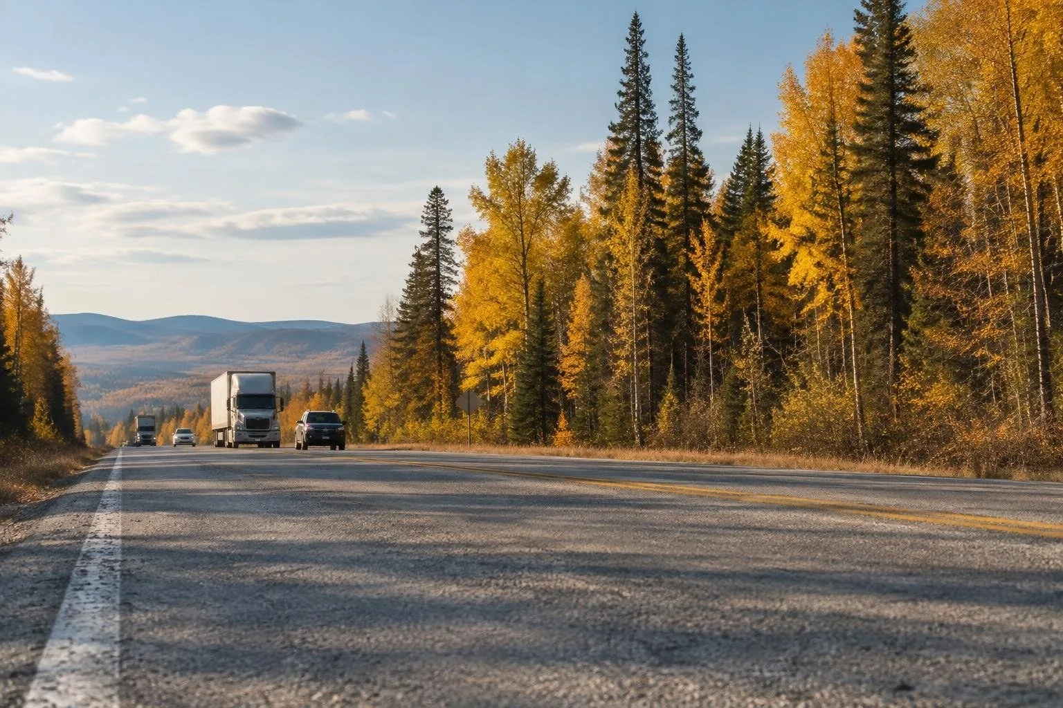
Today, many sections of the historic road lie hidden beneath modern interstates, their two lanes reduced to gravel or overgrown brush. The original path can be traced only by careful observation of faint tire marks and the occasional vintage sign. The archaeologist explained how the early road planners envisioned a continuous ribbon of pavement that would bind the nation’s heartland, yet the present-day reality is a patchwork of preserved segments and forgotten stretches.
Driving along these remnants, the traveler felt the contrast between the polished nostalgia of neon motels and the rugged, almost forgotten terrain. The Mother Road still carries the echo of its golden era, but the physical condition underscores how much of its history has been erased by time and development.
The Green Book: a survival guide for Black motorists
While the highway symbolized freedom for many, Black travelers needed a practical directory to navigate a hostile environment. First issued in 1936 by Harlem postmaster Victor H. Green, the Negro Motorist Green Book listed safe lodging, dining, fuel stations, and even recreational spots across the United States. Its pages grew in response to the surge of African American families heading west, especially along Route 66.
The guide warned of “sundown towns,” places where Black citizens could be present only until sunset before facing violence or legal repercussions. By marking friendly establishments, the Green Book turned the open road into a series of measured steps toward autonomy, allowing families to travel with a modicum of security.
Flagstaff, Arizona: an oasis on the Mother Road
One of the most frequented Green Book listings between New Mexico and Los Angeles was Flagstaff, a high-altitude town surrounded by pine-covered mountains. In the mid-20th century, the town’s timber industry attracted Black workers from the Deep South, who brought lumber-cutting skills honed in Louisiana, Texas, and Alabama. Their presence sparked the formation of a modest yet enduring Black community, comprising about two percent of the city’s residents.
Interviews with longtime residents reveal how the Green Book was not merely a passing reference but a cornerstone for establishing roots. Women recalled their mothers baking cinnamon rolls to sustain families while men labored in sawmills. Children spoke of segregated schools, separate restaurants, and occasional peaceful sit-ins at local eateries. Despite these hardships, the town’s mixed cultural fabric (White, Latino, Native American, and Black residents) created a unique social tapestry that still colors Flagstaff today.
The trip’s guide, a historian from Fisk University, emphasized that the Green Book’s influence extended beyond navigation; it validated the right of Black Americans to travel, work, and live across the country. As the road trip concluded, the lingering image of the desert highway merged with the stories of resilience preserved in a once-essential pocket book.